
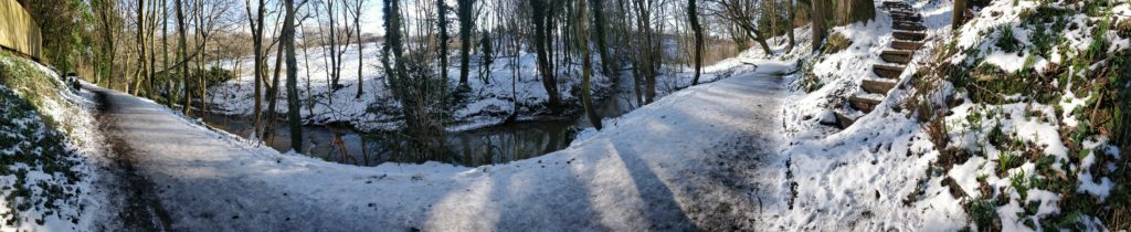
The Lade Braes Walk
The Lade Braes is a 2.5km long public footpath in St Andrews, alongside the Kinness Burn. This stretch of land is of both cultural and natural significance. The name Lade Braes comes from the Scots words “Lade” – an artificial watercourse – and “Braes” – which means high ground. It refers to the watercourse that was created to bring water from the Kinness Burn closer to several mills. The water was gathered in mill ponds which were often created artificially through the use of dams. This was needed to turn the wheels of the watermills, milling barley, oats, corn, and flour. Citizens also made use of this water for washing clothes and cleaning fish.

Historical Significance
The mills of the Lade Braes are not the only thing of interest in this location. At one end of the footpath, there is Hallow Hill which is adjacent to the Kinness Burn. This is another historically significant place as several stone-lined graves were found which served as a Pictish burial place between the 5th and 9th Centuries. The remains include those of a young person, glass vessels, and items that could have been tools such as bone and bronze knives, glass and stone whetstones, fragments from a stone hammer and flint and jet flakes. On the other side of the hill, there is the Bogward Doocot, a sixteenth-century dovecot that was used for pigeon and bird nesting. It is still in good condition, having been restored by the St Andrews Preservation Trust.

Natural Significance
A variety of wildlife inhabits the surrounding woods. Most notably, parts of the walk are directly facing the woods at the St Andrews Botanical Garden. The Law Park Woodland is another natural area that is close to the Law Mill. It is known as the Boase Wood, under the care of the St Andrews Preservation Trust. The Lade Braes walk presents many opportunities for spotting fauna: kingfishers, great tits, herons, otters, grey (and the occasional red) squirrels are some of the creatures that call this riverside their home. The landscape changes with different flora that blossoms throughout the year, which include spring bluebells, daffodils, and late-winter snowdrops. The woodlands and wildflower fields provide a habitat for hundreds of insects, birds, and animals.
It is this mix of history and nature that make the Lade Braes so unique. Hundreds of people walk through this path while commuting to town or to enjoy the fresh air throughout the seasons. A new exhibition will add an extra dimension to this public footpath. The exhibit is free and available to everyone. Learning about this place will become integrated with the walk itself.
The Mills of Lade Braes Exhibition
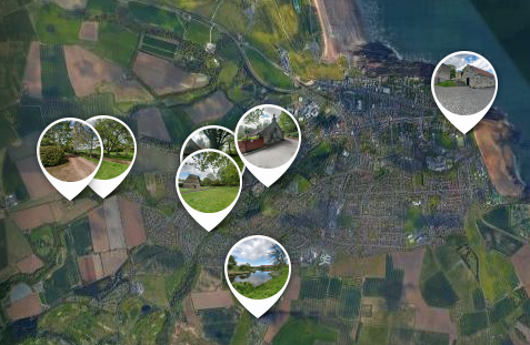
The exhibition is an interactive trail on location at the Lade Braes. We encourage people to walk along the public footpath to learn information about the mills that used water from the Lade Braes. The route includes six strategically placed waypoints and stretches from Shore Mill by The Pends to Bogward Doocot. Three of the signs mark the exact location of the mill, whilst the other three are placed along the Lade Braes footpath.

The signs at each waypoint will have information about the mills on them, along with a QR code. The QR code links to an audio clip that can be heard on a personal phone whilst walking. The information is from the collection provided by contributors at LadeBraes.net.
Sketches of the mills will supplement the information. This gives a better understanding of how the mills worked. Old photographs which show the mill when the landscape was much more different will be printed on the sign, where available.
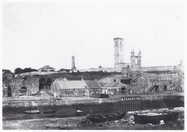
Shore Mill 1845
© St Andrews Preservation Trust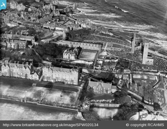
Abbey Mill Site 1927 – Mill Pond in the foreground
© Britain From Above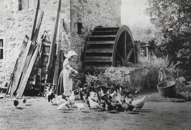
Law Mill 1905
© St Andrews Preservation Trust
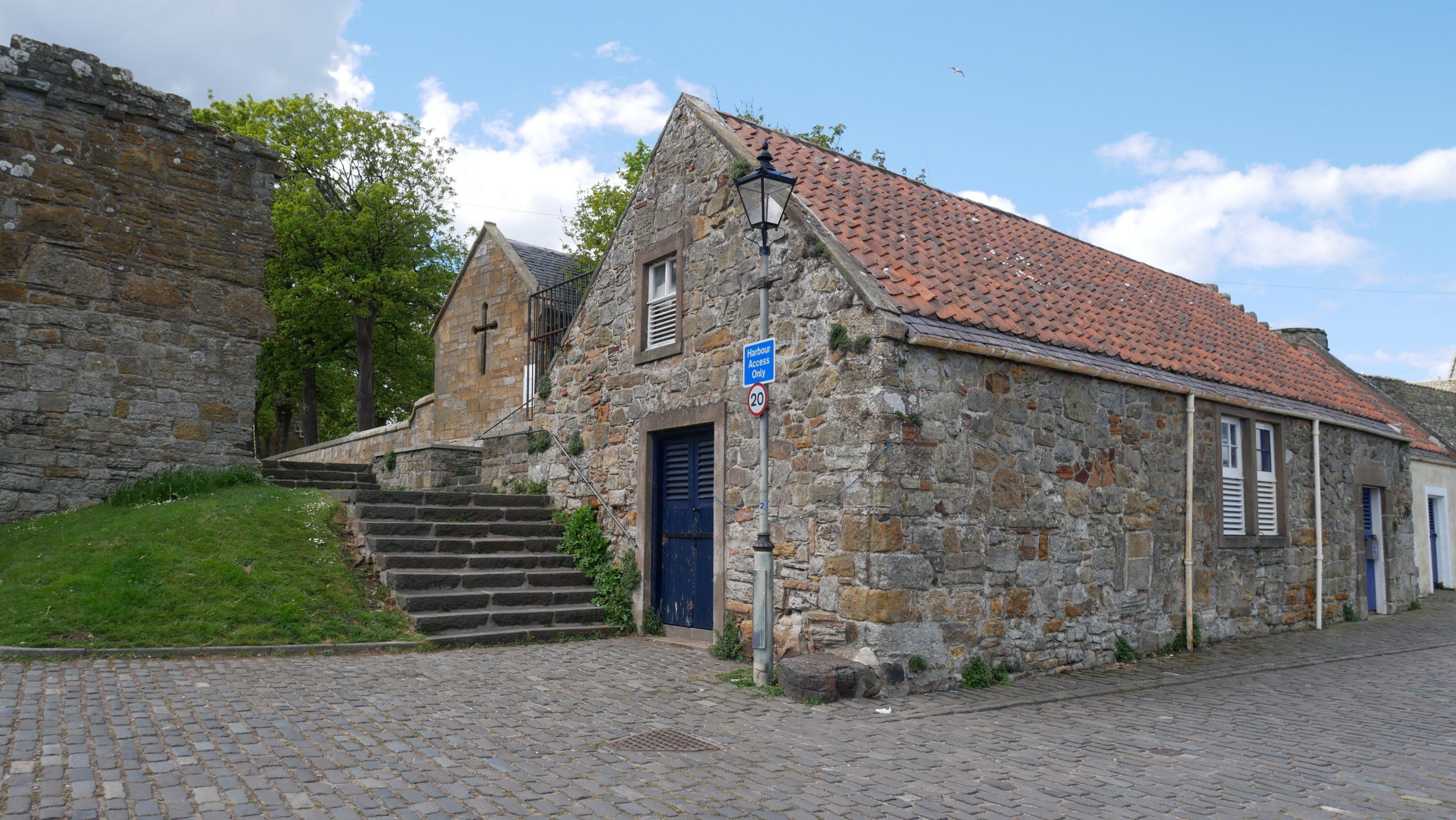
Shore Mill – 2021 © Sharon Pisani 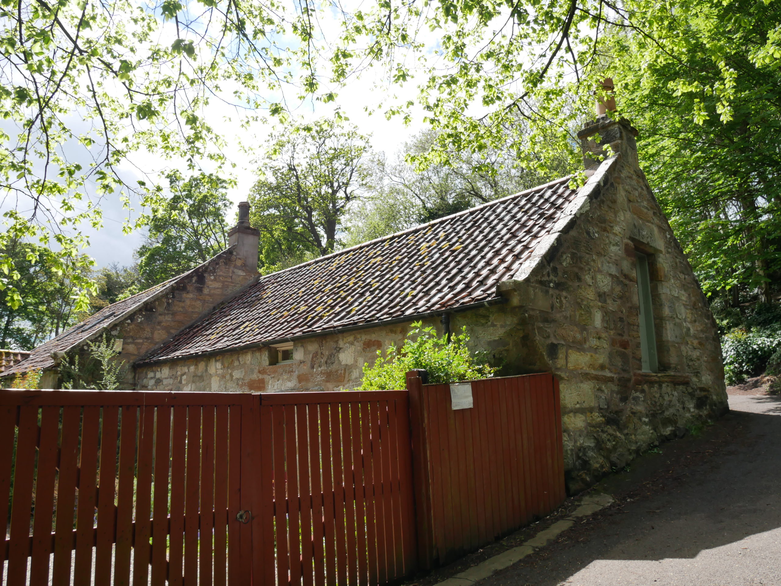
New Mill & Plash Mill – 2021 © Sharon Pisani 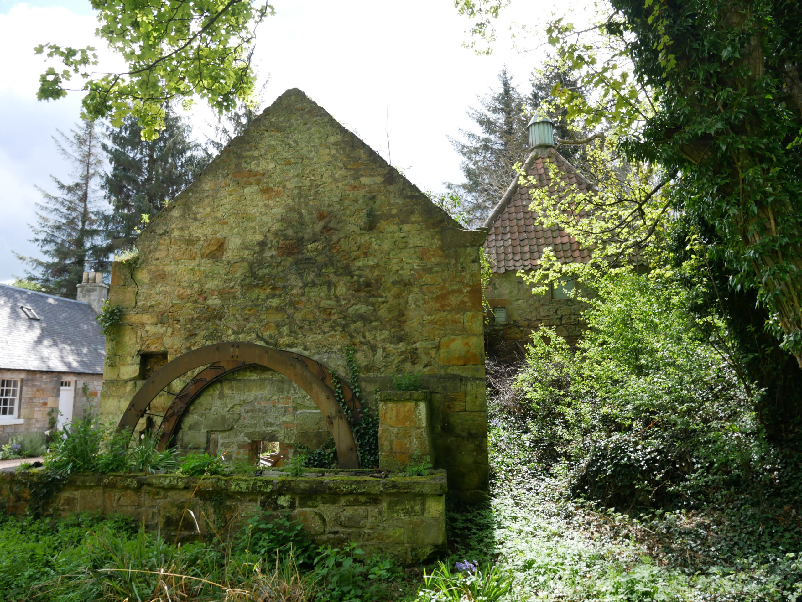
Law Mill – 2021 © Sharon Pisani 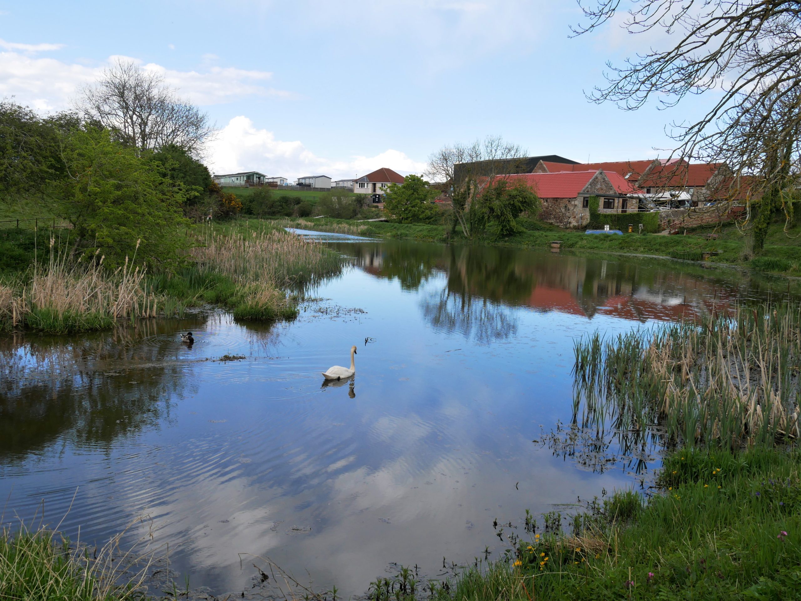
Cairns Mill Location – 2021 © Sharon Pisani 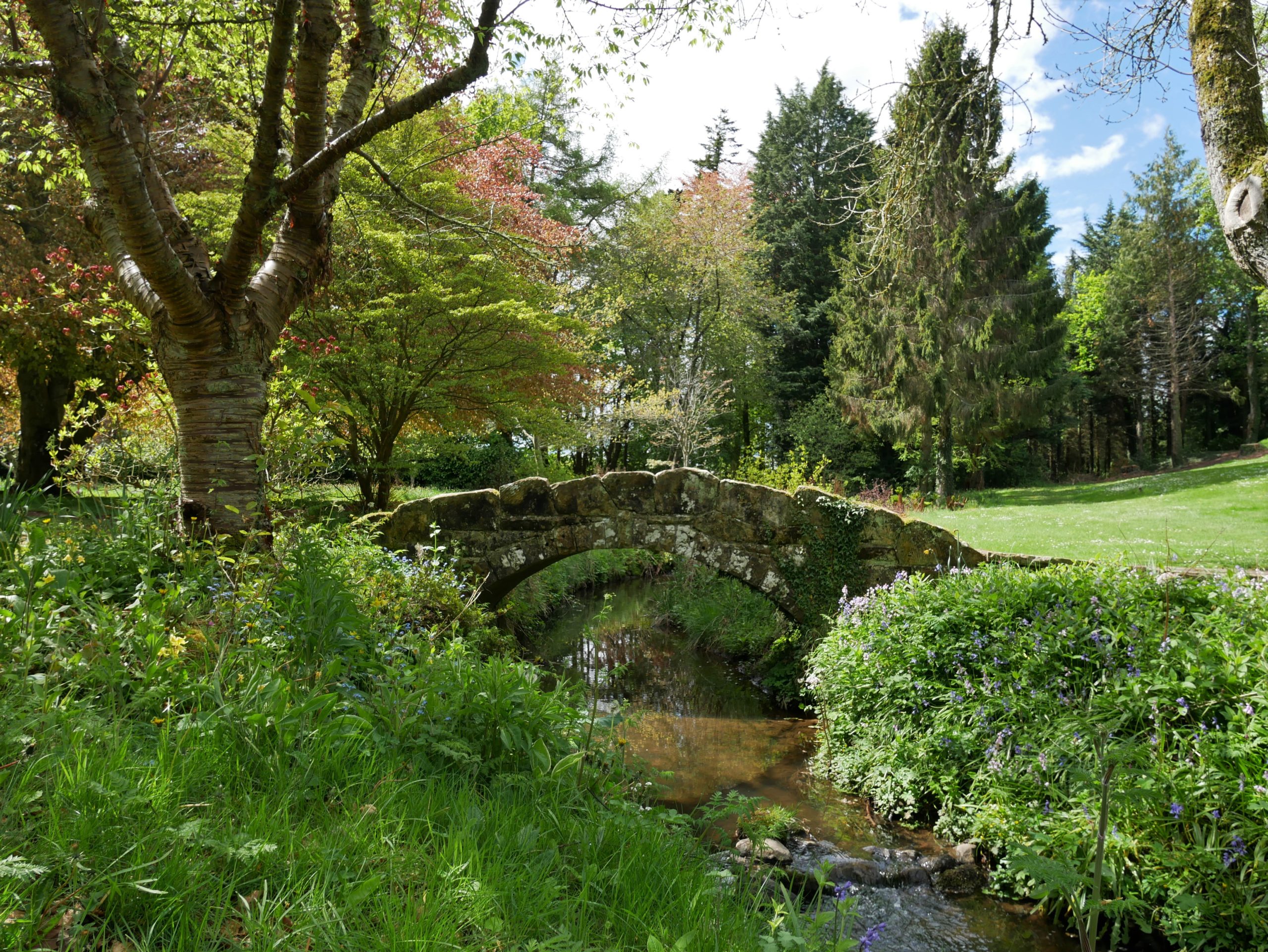
Denbrae Sawmill Location – 2021 © Sharon Pisani 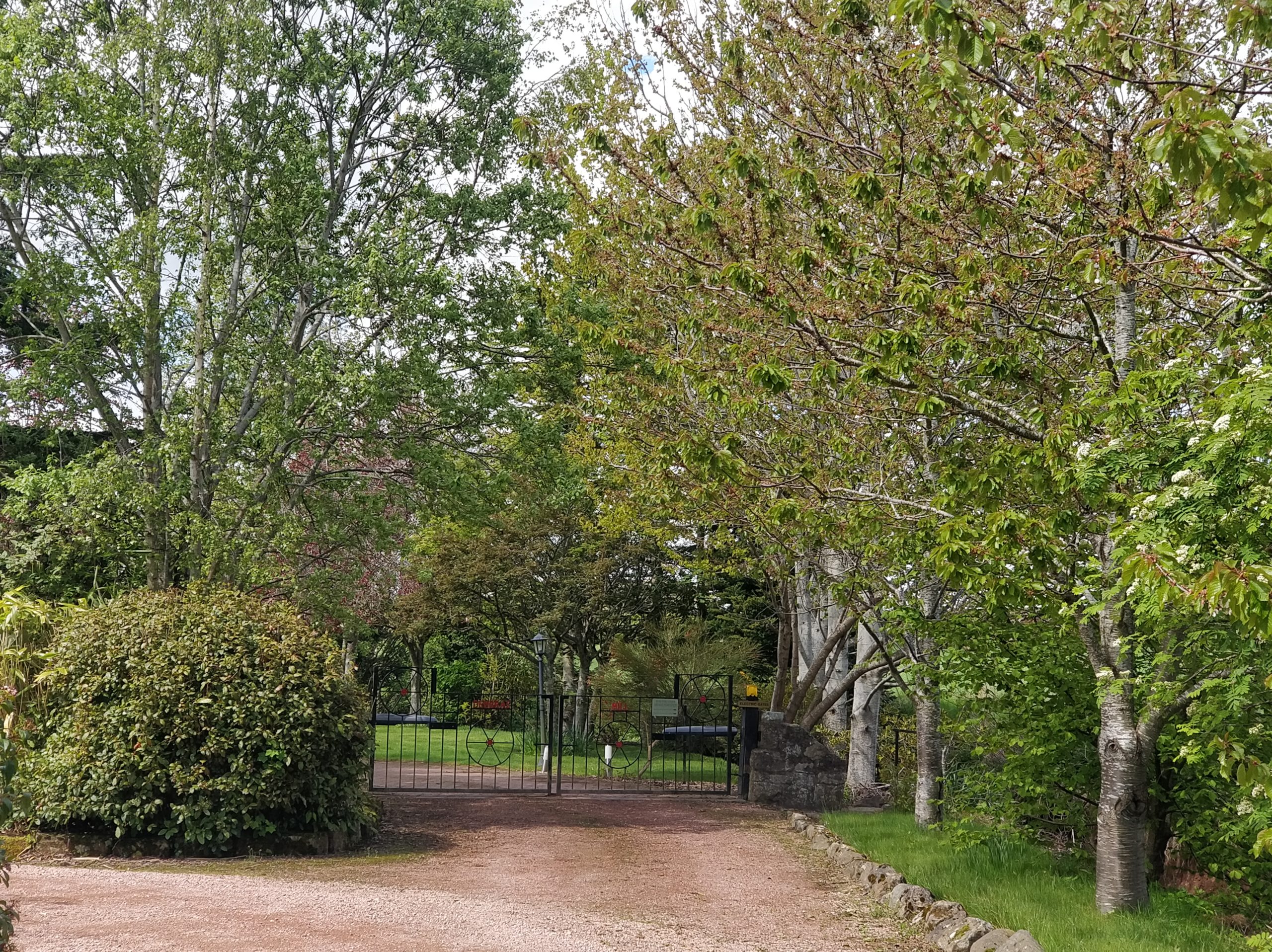
Dewars Mill Location – 2021 © Sharon Pisani
The Virtual Exhibition
Although walking along the Lade Braes is a wonderful outing in its own way, the information is available online as a virtual reality tour. It can be enjoyed at home on smartphones, tablets, and computers. The tour can be experienced through virtual reality with the use of a VR headset. It is a collection of 360° photos of the original locations of the mills. The mills used to extend beyond what is now the public footpath. Some of them have been built around or demolished to build homes so they are not as accessible. The virtual tour includes location photos of all mills whose location is known, apart from Abbey Mill which is now situated within St Leonard’s School and photography is not allowed. The tour can be accessed on Roundme or previewed below.
Say, you got a nice blog.Really looking forward to read more. Awesome.
Thanks for the suggestions you have shared here. Something else I would like to convey is that computer system memory needs generally rise along with other improvements in the technological innovation. For instance, if new generations of processor chips are made in the market, there’s usually a similar increase in the shape demands of both the computer system memory and hard drive space. This is because software program operated simply by these processors will inevitably surge in power to take advantage of the new technologies.
wow, awesome post.Really thank you! Cool.